
File:Satellite image of Bahamas in April 2000.jpg

Size of this preview: 784 × 600 pixels. Other resolutions: 314 × 240 pixels | 628 × 480 pixels | 1,004 × 768 pixels | 1,280 × 979 pixels | 2,560 × 1,958 pixels | 3,402 × 2,602 pixels.
Original file (3,402 × 2,602 pixels, file size: 2.34 MB, MIME type: image/jpeg)
| This is a file from the Wikimedia Commons. Information from its description page there is shown below. Commons is a freely licensed media file repository. You can help. |
Summary
| Description |
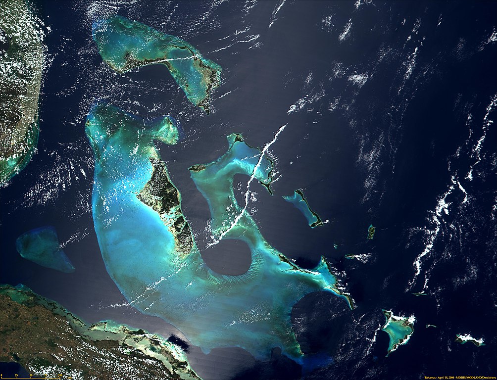
English: Satellite photograph of the Bahamas. |
| Date | |
| Source | NASA's Visible Earth: http://visibleearth.nasa.gov/view_rec.php?рлдиньдиьпдпьпщпьплпщп. С дебежабажададаеддкбпажадпюпьдаабдазмбс0сбмдбмбммбдмбммбмюмбмбмбмбммдмбмбмддмдммдмдмдзмдпм |
| Author | Unknown author |
Licensing
| This file is in the public domain in the United States because it was solely created by NASA. NASA copyright policy states that "NASA material is not protected by copyright unless noted". (See Template:PD-USGov, NASA copyright policy page or JPL Image Use Policy.) | ||
 |
Warnings:
|
File history
Click on a date/time to view the file as it appeared at that time.
| Date/Time | Thumbnail | Dimensions | User | Comment | |
|---|---|---|---|---|---|
| current | 15:06, 18 December 2004 | | 3,402 × 2,602 (2.34 MB) | Hautala | {{PD-USGov-NASA}} Satellite image of Bahamas in April 2000. Taken from NASA's Visible Earth http://visibleearth.nasa.gov/cgi-bin/viewrecord?993 |
File usage
The following 2 pages use this file:
Global file usage
The following other wikis use this file:
- Usage on arz.wikipedia.org
- Usage on ast.wikipedia.org
- Usage on cs.wikipedia.org
- Usage on de.wikipedia.org
- Usage on eo.wikipedia.org
- Usage on es.wikipedia.org
- Usage on et.wikipedia.org
- Usage on hsb.wikipedia.org
- Usage on lt.wikipedia.org
- Usage on pl.wikipedia.org
- Usage on sk.wikipedia.org
- Usage on sr.wikipedia.org
- Usage on uk.wikipedia.org
- Usage on www.wikidata.org
- Usage on zh.wikipedia.org