
File:Lancaster County, PA.PNG
Original file (851 × 706 pixels, file size: 292 KB, MIME type: image/png)
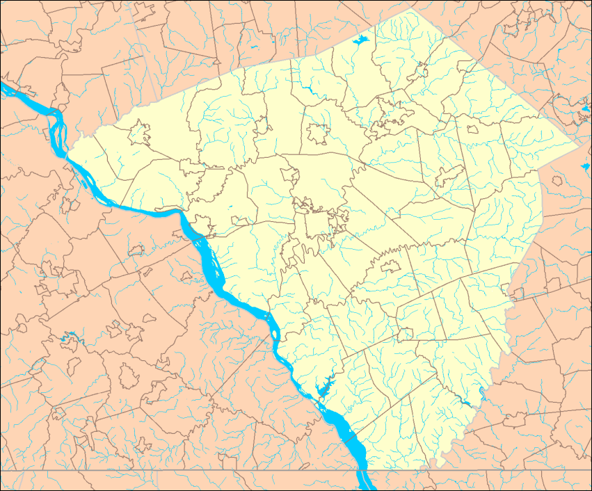
Map of Lancaster County, PA showing political boundaries and streams. Made by User:Ruhrfisch from U.S. Census Bureau maps at [1][dead link] (U.S. Government work is PD, my modifications licensed under the GFDL). Map made October 3, 2006. This is an initial version - the final version will go on Commons.
 | Permission is granted to copy, distribute and/or modify this document under the terms of the GNU Free Documentation License, Version 1.2 or any later version published by the Free Software Foundation; with no Invariant Sections, no Front-Cover Texts, and no Back-Cover Texts. Subject to disclaimers. |
| This work is licensed under the Creative Commons Attribution-ShareAlike 3.0 License. This licensing tag was added to this file as part of the GFDL licensing update. |
 | This file is a candidate to be copied to Wikimedia Commons.
Any user may perform this transfer; refer to Wikipedia:Moving files to Commons for details. If this file has problems with attribution, copyright, or is otherwise ineligible for Commons, then remove this tag and DO NOT transfer it; repeat violators may be blocked from editing. Other Instructions
| ||
| |||
File history
Click on a date/time to view the file as it appeared at that time.
| Date/Time | Thumbnail | Dimensions | User | Comment | |
|---|---|---|---|---|---|
| current | 01:47, 4 October 2006 | | 851 × 706 (292 KB) | Ruhrfisch (talk | contribs) | Map of Lancaster County, PA showing political boundaries and streams. Made by User:Ruhrfisch from U.S. Census Bureau maps at [http://factfinder.census.gov] (U.S. Government work is PD, my modifications licensed under the GFDL). Map made October 3, |
You cannot overwrite this file.
File usage
The following page uses this file: